
South Riding Previous Residents Sources
One South Riding address can have several record trails. The parcel and deed sequence concerns legal transfers. A reverse directory or telephone book can provide an address-to-subscriber lead. Census, tax, newspaper, cemetery, and probate records add historical context. Each source has its own span and access method, so compare the source date with the date you are trying to establish rather than combining unrelated entries into one history.
| Source | Years it covers | Where held | What it shows |
|---|---|---|---|
| Deed-book index | 1956-present; historical viewer 1757-1956 | PAX and Loudoun Historic Records | Grantor, grantee, instrument or book-page, and document type |
| Deed-book image | 1969-present; historical viewer 1757-1968 | PAX and Loudoun Historic Records | Recorded conveyance, legal description, signatures, and consideration where visible |
| Plat image | 1990-present; viewer 1946-1989 | PAX, Historic Records, and GIS | Lot, section, subdivision, road, and parcel geometry |
| Loudoun/Fauquier criss-cross directory | 1987-1996 located | Library of Congress guide and local holdings | Address-to-subscriber or occupant lead; no verified South Riding entry |
| Federal census microfilm | Loudoun 1810-1930 | Thomas Balch Library | Household, age, relationship, and place context |
| Issued residential permits | 2010 through the prior year | Loudoun GIS and LandMARC | Permit number, address, PIN, issue month or year, project, and type |
Start with the current parcel when the question concerns the parcel's transfer history. Start with a dated directory or census source when the question is who lived here before. For a pre-development tract, move from the current legal description and plat backward to the county land trail. Loudoun's early records may identify predecessor land without using the modern South Riding name.
South Riding PIN and Plat Anchors
The safest starting note holds more than a street address. Capture the current situs address, the tax mailing address, the PIN, tax map, subdivision and section, plat number and title, project number, legal description, and parent PIN where present. A South Riding parcel can appear with a South Riding postal form and a Chantilly county Town Zip form. That mismatch is a search bridge, not proof that two parcel records are different.
Plat information is especially helpful because it turns an address into lot, block, or section information. Official South Riding parcel samples include section, plat, project, and parent references. A parent identifier can matter when a condominium unit, parking space, garage, or common element is separately identified. It is a parcel relationship, not a relationship between people. Record it before deciding that two entries describe the same property.
A planned-community street name is not always the best key for older material. Use the subdivision, section, plat, project number, and legal description as durable search terms in the deed index or Historic Records. No official source identified a verified South Riding renumbering or renaming event, so compare those parcel fields instead of relying on a name match alone.
South Riding PAX Access Changed in 2025
On September 23, 2025, Loudoun's Clerk launched occasional remote Land Records access. The change added free index searching for account holders, account-based history, paid image purchase, and online download. The index does not make every record image free, and access still differs by record series. Public kiosks remain a free image-access option, while annual subscriber access is another county-described model.
The PAX occasional-user portal is the manifest source for the South Riding previous residents search gateway shown here.
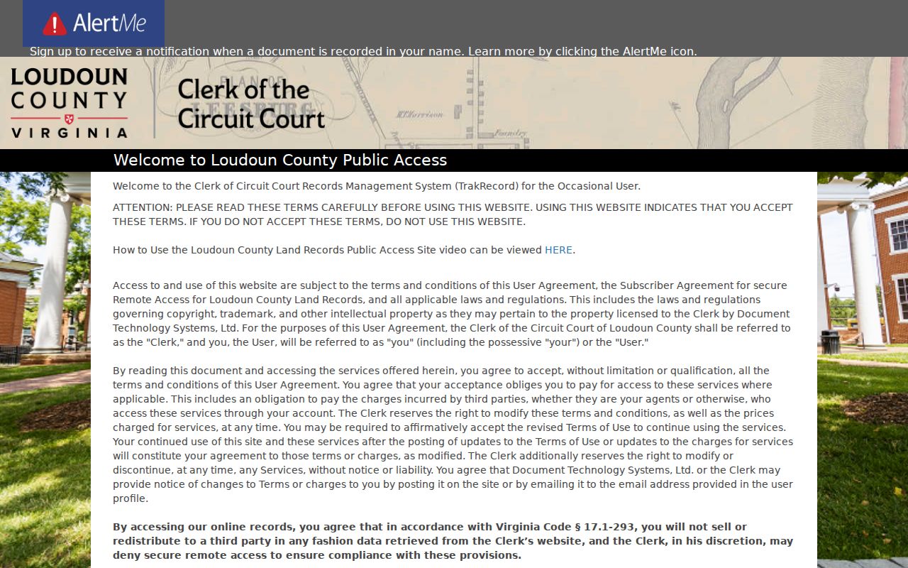
PAX supports name, summary, detail, advanced or legal, and instrument searches. For a South Riding deed search, keep the instrument ID or book and page with the party names and recording date so the next link in the chain can be checked.
Trace South Riding Previous Residents Through Deeds
Deeds trace conveyances, not a complete list of every person at an address. Begin with the current parcel record, then use the current grantee or an instrument reference in the Loudoun Clerk's index. The key check is the legal description, lot, section, or plat. Names can repeat, and a grantor may be a developer, trustee, lender, or entity rather than a person connected to the property's day-to-day history.
- Use the assessor or GIS record to retain the PIN, situs and mailing addresses, legal description, subdivision, section, lot, plat, and current deed reference.
- Search PAX for the current owner as grantee, or search by the instrument or book and page when it is known.
- Open the likely purchase record and record the grantor, grantee, recording date, consideration, instrument ID or book and page, cross-reference, and legal description.
- Search the seller named as grantor in that deed as an earlier grantee, then test the legal description and plat information before accepting the prior acquisition.
- Repeat the sequence through earlier transfers. Switch to the historical viewer, courthouse books, or Historic Records when the needed series reaches its access cutoff.
- Use a plat and parent PIN to bridge subdivision, condominium, parking, garage, or common-element records when the address alone becomes ambiguous.
- Grantor / grantee
- The grantor is the party transferring an interest in the indexed instrument. The grantee is the party receiving that interest. Their roles must be read with the document type.
- Chain of title
- A documented sequence of conveyances for the same parcel, checked by legal description, lot, section, or plat rather than surname alone.
- Legal description
- The lot, plat, section, metes-and-bounds, or other formal land description used to identify the parcel. It is often a steadier historical anchor than an address string.
- Criss-cross directory
- An address-ordered directory that can offer a historical subscriber or occupant lead, subject to the volume's scope and key.
Document type matters. A deed of trust is financing evidence, a release is not a sale, and a plat is not an ownership transfer.
South Riding Deed Coverage by Series
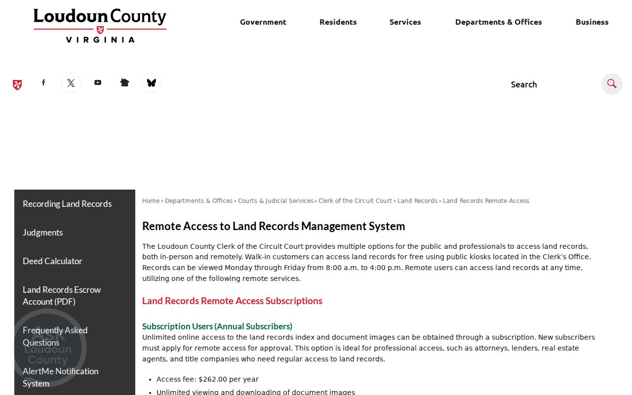
There is no single “online since” date for Loudoun land records. Deed-book indexes cover 1956 to the present, while deed-book images cover 1969 to the present. Historical single-page viewers reach back to 1757 for the identified deed series, though the historical image range is described separately as 1757-1968. Plats also have their own pattern: images from 1990 forward and a viewer for 1946-1989.
The Loudoun remote land-record access page is the manifest source for this South Riding previous residents access view.
A late-1990s South Riding section will likely have online deed images, but its pre-development history may require a historical viewer, courthouse book, or archive source. An online gap is an access boundary, not evidence that the underlying legal record never existed.
South Riding Address Bridges
Keep the place forms together throughout a backward search. USPS documents South Riding 20152, while sampled county parcel cards show CHANTILLY VA 20152 as Town Zip. A record can also use the subdivision name, section and plat title, or an earlier rural road and land description. The PIN links these names more safely than forcing a modern postal string onto an old record.
Indexing requires the same care. For South Riding address history, Loudoun's PAX practice generally omits punctuation, while pre-2003 records may retain it. Human apostrophes and hyphens are retained. Non-human entries can omit “The,” and estate or deceased entries receive suffixes. Search surname variants and entity, trust, association, section, and lot terms when the legal description points to the parcel.
Note: A mailing address can be a tax or contact address, so it should not be treated as proof that a person was at the parcel.
South Riding Past Residents in Directories and Census
Ownership is only one layer of a South Riding address history. The documented Loudoun/Fauquier criss-cross run covers 1987-1996, but no verified South Riding entry was found. Thomas Balch holds Loudoun census microfilm from 1810 through 1930, and later public schedules follow the 72-year release rule. County telephone books and newspapers can supply another dated lead. None should be read as a complete household list.
- Normalize the street number and suffix, plus the South Riding and Chantilly place variants if the source uses a postal field.
- Search the 1987-1996 criss-cross material where the address and period make it plausible, and record whether the line identifies a subscriber or occupant.
- Pair a directory date with a suitable Loudoun census year, retaining the image, microfilm, or index type with the citation.
- Compare the parcel's legal description, tax, deed, or plat material before carrying a name from one address form into another.
- Use a newspaper notice, cemetery index, or probate record to resolve a name, estate role, or later transfer without assuming a full household story.
The collection details and reading method for those historical volumes appear in the South Riding city directory collections. For South Riding's modern development period, the parcel, deed, and permit trail is usually more productive than a printed county directory.
South Riding Past Residents' House History
Thomas Balch's research and reference services offer local-history collections, reference requests, orientations, and databases. Its collection descriptions include historic-house files, family files, census, tax, deed, and will material. No dedicated public “research your house in South Riding” guide was located. A reference request is the documented route when a parcel's older county context needs help beyond the online index.
Its cemetery index covers more than 200 local cemeteries, and its Family Files can include Bibles, family group sheets, histories, trees, research notes, and correspondence. County tax and land material adds context before modern parcel cards. These are historical research aids, not proof that a named person occupied the subject property at a particular time.
Virginia Sanborn Maps is listed among Thomas Balch's in-house databases, but exact South Riding map coverage was not verified. The planned community postdates many historic town maps. Treat a map hit as a source to inspect, not as a presumed source for a modern South Riding parcel.
South Riding Previous Residents and Permit Dates
Loudoun's historic issued-residential-permit GIS layer begins in 2010 and runs through the prior year. LandMARC offers public access to permit and land-application records, plans, status, inspections, fees, and public records without an account. The permit layer can show a permit number, PIN, address, issue month or year, subdivision or project, zoning, ZIP, and type.
Use a permit to date construction or later work, then compare its address and PIN with the plat section and the assessor's year-built field. It cannot establish who occupied the building. For a single property or permit that needs help, the county also offers a permit inquiry form and describes a two-business-day target for its response.
South Riding Previous Residents: Probate Endpoints
When an earlier owner or address lead is identified, newspapers, cemetery material, and Circuit Clerk wills and fiduciary records can help close the trail. Probate may name heirs, executors, or mailing addresses. A later deed release or fiduciary instrument can support a transfer connection. None proves that every heir was present at the subject address, so retain each record's role and date.
The Loudoun Historic Records collection begins with the county's 1757 formation and survived without the major courthouse-fire, war, or environmental loss described by the county. That makes older land, tax, will, and court research a realistic predecessor trail for a modern South Riding parcel, even when the South Riding community name did not yet exist.
Lawful use. Use previous-resident research for personal family or house history, and never turn record fragments into a dossier or use them to stalk or harass someone.