
South Riding Neighbors by Parcel
The public record starts with land, not a household roster. WebLogis establishes a parcel’s shape, PIN, subdivision, plat, and adjoining parcels. The assessment roll supplies property and mailing fields for a selected parcel. PAX can document recorded instruments for one parcel at a time. Permit records help date building work. Voter products are controlled under Virginia law, and association pages describe community structure rather than resident membership. These sources help examine the block around a South Riding address without claiming that every name connected to a parcel is a current neighbor.
| Source | What It Shows About a Block | Access |
|---|---|---|
| WebLogis parcel map | Geometry, adjoining parcels, PIN, zoning, plat, subdivision, and environmental overlays | Free public map |
| Loudoun assessment search | Parcel-by-street or ZIP inventory with taxpayer, mailing, situs, and value fields | Free public search; owner-name availability is unresolved |
| PAX land records | Recorded ownership or deed chain for a selected parcel | Index/account route; images may be paid or kiosk access |
| LandMARC permit records | Construction or alteration record by address, PIN, year, and type | Public search; issued layer begins in 2010 |
| Voter products | Address-linked registration products only for authorized uses | Purpose-limited; no public block roster promised |
| Association pages | Community, governance, forms, and public contact context | Public association pages; no member directory located |
A South Riding neighbor search is therefore a parcel relationship first. A lot may be common land, a road, a stormwater parcel, an association parcel, a developer parcel, or a separately addressed garage or parking parcel. Compare parcel type, parent PIN, subdivision, and plat before deciding that two results describe separate nearby homes.
South Riding Neighbors: Parcel Flow
WebLogis provides the direct adjacent-parcel route. It accepts an autocomplete street address and a PIN or map-tile search, then exposes parcel and plat-file information after a map click. The process stays strongest when each selected parcel is recorded separately and the later deed or assessment check is limited to that parcel. It does not turn an adjoiner list into a resident directory.
- Locate the target South Riding address or PIN in WebLogis and open the parcel context.
- Choose Find Adjoining Parcels to highlight touching parcels and retain the returned PINs.
- Open each parcel card and note parcel type, parent PIN, subdivision, plat, and road context before looking at names or mailing fields.
- Use the selected PIN or legal description in the assessment roll, then inspect PAX only when a recorded ownership or history question remains.
- For a wider area, use the distance tool. It reaches up to 5,280 feet, or one mile, and maps with more than 50 results do not label every parcel.
The official WebLogis parcel card is the source shown in this map capture.
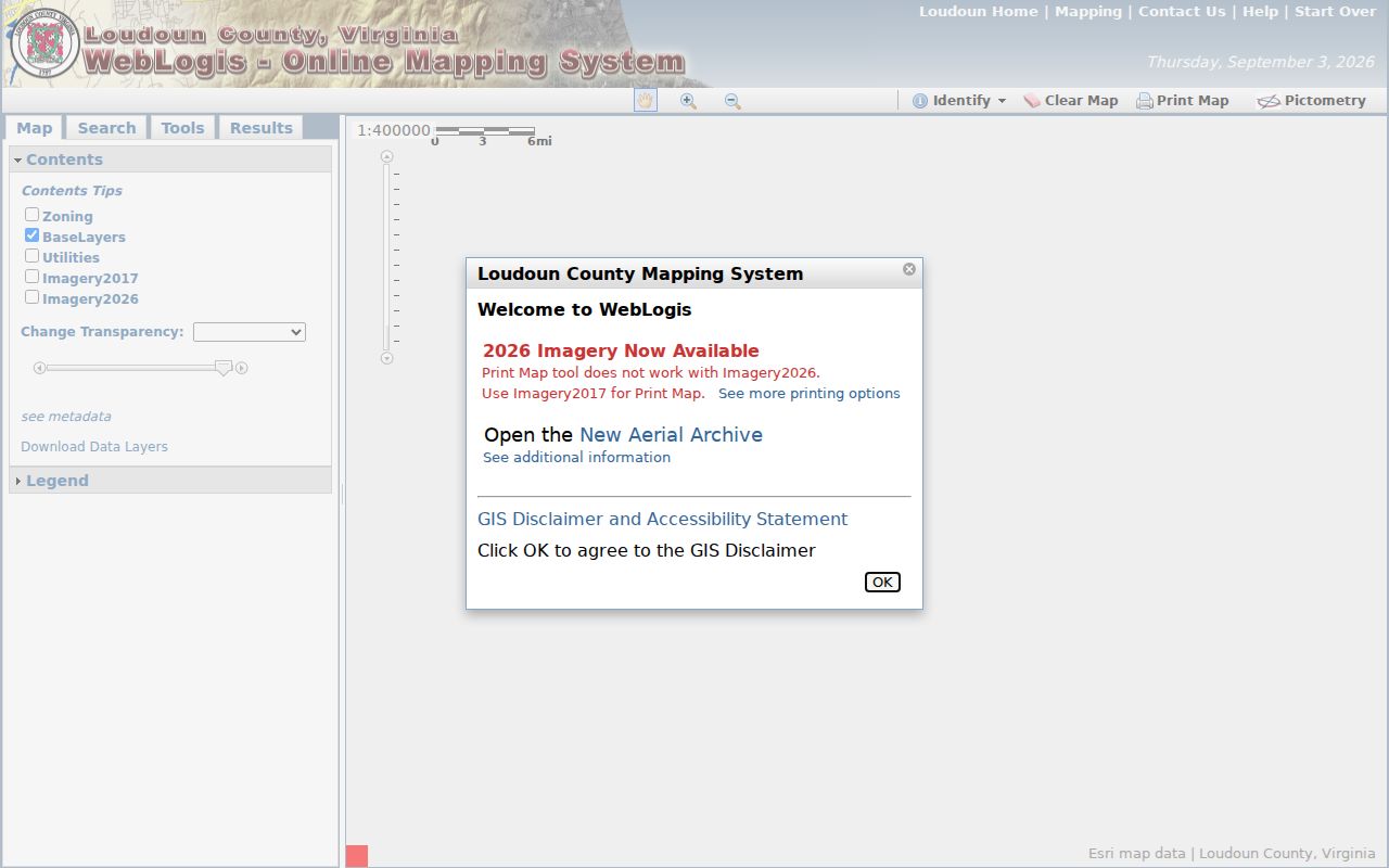
Its section, plat, project, and parent fields are map clues that help distinguish a parcel relationship from a person relationship.
A broader named-street chain requires a different approach. Use the South Riding Street Directory when the question has moved from the immediate block to parcels along an entire street.
South Riding WebLogis Records
WebLogis can search a nine- or twelve-digit PIN, although some documented searches reduce a twelve-digit PIN to the first nine digits. The map also offers address points, road centerlines, parcels, subdivisions, ZIP layers, and overlays for zoning, floodplain, soils, water bodies, and similar geography. Those layers provide location context. They are not ownership proof. The public Results tab can offer assessment-related options, but the owner-address-list option is labeled internal only. Do not portray it as a public feature.
- PIN
- A parcel identification number used to connect the map, assessment, and land-record trail.
- Plat
- A recorded map that fixes a lot, section, road, or subdivision layout.
- Parent PIN
- An identifier that can connect a unit, parking space, garage, or common element to a larger parcel record.
- Adjoining parcel
- A map relationship showing touching land, not proof that people know or live beside one another.
For a South Riding address, the section and plat may be steadier research anchors than the postal label. County cards can use Chantilly VA 20152 while the association and postal sources use South Riding VA 20152. Treat the shared ZIP, PIN, plat, and legal description as the bridge. A label mismatch alone does not establish a different location.
South Riding Community Structure
Association names help identify the community layer surrounding a parcel. South Riding Proprietary is the umbrella association. Amberlea at South Riding and Lakeside at South Riding are separate condominium or unit-owner structures, not interchangeable labels for every South Riding parcel. County planning material also identifies Reserve at South Riding and nearby South Village, Kirkpatrick Farms, and Stone Ridge. Use each name as a subdivision, plat, permit, covenant, or community search term. None is proof that an address belongs to that association.
| Association or context | Public record context | Contact shown in research |
|---|---|---|
| South Riding Proprietary | Umbrella association and community resource | Town Hall, 43055 Center St, South Riding VA 20152; 703-327-4390; townhall@southriding.net |
| Amberlea at South Riding | Separate townhouse condominium structure with 621 units | No separate contact was captured in the research |
| Lakeside at South Riding | Separate condominium structure with 182 units | No separate contact was captured in the research |
The Loudoun community and HOA page is the county source shown below.
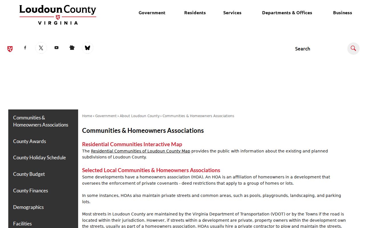
County association listings provide organizational context, not a public household directory.
The official South Riding Proprietary site is the source shown in this separate community capture.
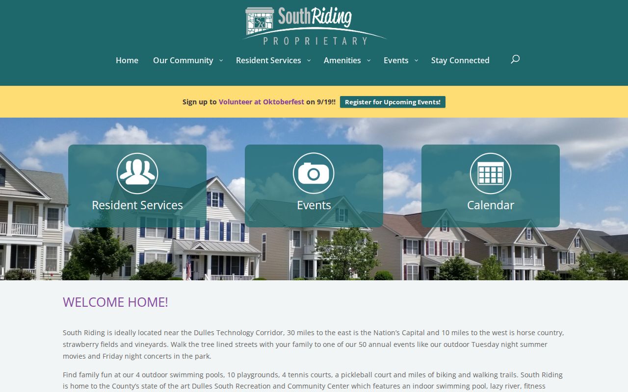
Its public forms, events, amenities, and contact material describe the community layer without publishing a resident roster.
South Riding Voter Record Limits
Virginia’s public voter-information route is designed for an individual status workflow, not a street-by-street or block-by-block search. Registration information can include status, precinct, districts, and voting history, but voting history indicates participation rather than ballot choice. Full voter-list products are limited by Va. Code §§24.2-405 and 24.2-406. They require an eligible requester class, an authorized purpose, and a certification against unauthorized copying or use. Protected voters and their addresses are not ordinary public fields.
The Virginia Voter Information portal supplies status, polling, registration, and voting-history routes. The official voter-list request form shows the controlled product categories and filters. It did not supply a current fee schedule or delivery-format detail in the inspected material. No public South Riding block roster should be inferred from either source.
South Riding Neighbor Record Comparison
Official sources and commercial neighbor-lookup categories serve different purposes. A custodian’s parcel or recorded-instrument result has a defined field set, a known date, and an office responsible for the original record. Commercial compilations may combine public and commercial data, charge for access, merge same-name records, and retain stale address information. They are not the original custodian and should not be treated as proof. For a South Riding block question, cite the original county or state source and preserve the access date.
| Source type | Useful for | Limit |
|---|---|---|
| Official parcel, deed, permit, or association source | A specific field, parcel, recorded transaction, or community context | May identify a role or place, not every current household member |
| Commercial neighbor-lookup category | A possible lead to verify at the source | Can be stale, merged, incomplete, or missing source context |
| Controlled voter product | An authorized statutory use | Not a public neighborhood roster and not shareable outside its permitted use |
When an original record is wrong, contact its custodian with the parcel PIN, instrument or case number, record date, and specific field at issue. A correction request for an original source is different from an opt-out request to a commercial copy.
South Riding Neighbor Archive Context
Modern South Riding development makes plats, permits, and parcel records the strongest place-specific block tools. For an older rural predecessor trail, use the PIN and legal description to reach deed, tax, probate, and historical sources. Loudoun County’s Historic Records collection begins with the county’s 1757 formation and was not destroyed by a major courthouse fire, war, or environmental loss. That does not mean the modern South Riding street name existed in the earlier record. The legal parcel description is the connection.
Thomas Balch Library research services add census, tax, cemetery, family-file, and historic-house context. The verified Loudoun and Fauquier criss-cross directory run is 1987 through 1996, but no official South Riding sample entry was found. A modern parcel card cannot fill that directory gap. For historical block research, state the coverage limit and let the record date control the conclusion.
South Riding Neighbor Privacy Limits
A neighbor record is not a public dossier. Adjacent parcels do not prove a social tie, an occupant list, or permission to combine names and mailing addresses into a block map. Parcel cards may name a taxpayer, owner, trust, or legal contact. Utility customer lists were not located as public. DMV address information is restricted. The research found no public South Riding household directory, and association pages do not supply one. Use a selected public parcel record only for its source-specific purpose.
Virginia’s Address Confidentiality Program can protect eligible participants through a designated address, and protected-voter categories can also limit normal address display. ACP records are exempt from FOIA. Do not reproduce protected addresses, unredacted identifiers, or sealed information. The Virginia ACP statute describes the designated-address protection.
Lawful use. Use South Riding neighbor records for personal, lawful research and community context. Using any record to stalk, harass, threaten, or intimidate another person is prohibited under Virginia law.